|
|
|
|
|
|
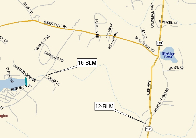
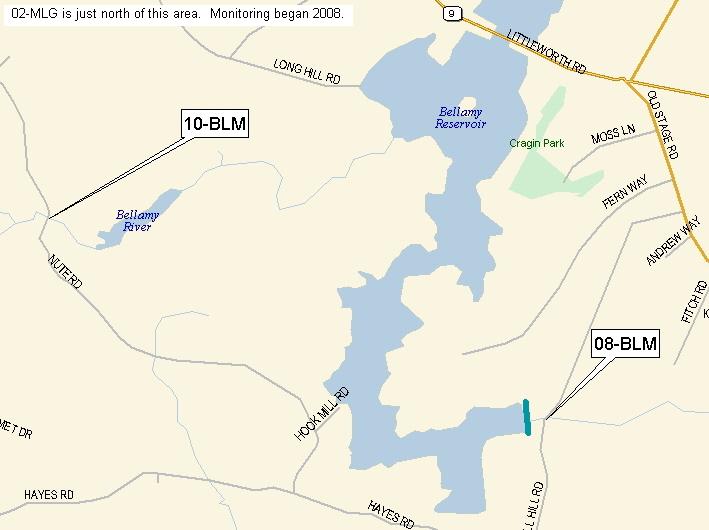
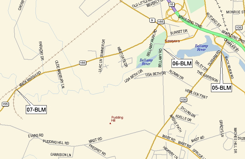
Station Location Maps (generally west to east, heading downstream)
Clicking on the tag (xx-BLM) will show a picture of the river,
Clicking on the tag point will show the road at the location.


|
|
|||||||||||||||
|
|||||||||||||||
|
Station Location Maps (generally west to east, heading downstream) |
|||||||||||||||
|
Clicking on the tag (xx-BLM) will show a picture of the river, |
|||||||||||||||
 |
|||||||||||||||
 |
|||||||||||||||
 |
|
|
| [BORWPP] [About BORWPP] [News and Events] [Information] [Bellamy VRAP] [Regional Interest] |
|
|